Figuring out building sites
Flag, hut or castle? That is the question. At this point I’m only interested on how height map affects building site icon, thus ignoring effects of objects (trees & granite) and houses.
To start figuring out the mystery I made a simple flat map and then started to modify the height of a single point and took a few images along the way. From past experience I know that the Map Editor only allows a maximum height difference of 5. You can hack more if you want, of course, but Map Editor starts increasing height of all nearby points until each have a maximum height difference of 5. This means to me that flags, huts and castle icons are calculated on a very small scale of differences. So here we go:
| Strength | Plus | Minus |
|---|---|---|
| 1 | 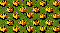 | 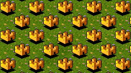 |
| 2 | 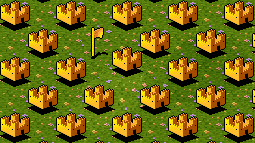 | 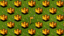 |
| 3 | 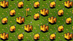 | 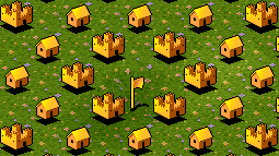 |
| 4 | 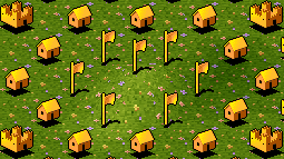 | 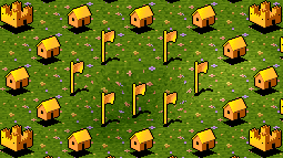 |
| 5 | 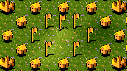 | 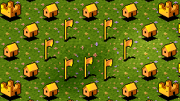 |
The next part is wondering how game’s algorithm works. For the most part it seems like there is one point that is more sensitive than others: the bottom right one. You can see this for yourself by comparing images Minus 2 and Plus 2: when the bottom right point is larger by 2, then the icon is a flag.
When the difference hits 3 things start to get very interesting. Surprisingly the nearest points right next to the difference of 3 remain as castle icons (!!!) and points one step further away instead react to the difference, becoming huts. Also, hitting plus 3 difference on the spot itself is enough to make that spot appear as a hut.
Then we have 4 and 5, which are finally enough to set the closest points as flagpoles.
I haven’t yet tried to put this information into an algorithm. Also, there are still other things to look at, such as mine icons and how an object changes these.